Boosting capsule
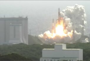
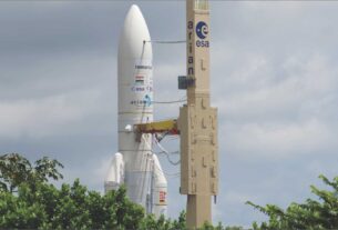
In a major boost to the Indian space programme, GSAT-10, the heaviest ever Indian satellite, was successfully placed into orbit on September 29 by means of the Ariane-5 vehicle of the European space transportation company, Arianespace, from the Kourou launch complex in French Guiana.
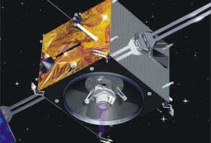
The 3,400-kg GSAT-10, described as an advanced Indian communications satellite features 30 transponders-12 in Ku band, 12 in C band and 6 in extended C-band. The transponder capability of GSAT-10 is expected to support the communications and broadcasting sectors of India in a big way.
More importantly, GSAT-10 carries a navigation payload designed to support GAGAN (GPS aided Geo Augmented Navigation) civilian air traffic management system being implemented jointly by Indian Space Research Organisation (ISRO) and the Airports Authority of India (AAI).
The navigation payload of GSAT-10 would provide GPS signals of improved accuracy -of better than 7 metres – and help fine tune the final operational phase of Gagan.
Gagan project
As it is, Gagan is expected to become fully operational by the middle of next year. Incidentally, GSAT-10 is the second satellite in INSAT/GSAT constellation with Gagan payload after GSAT-8 launched in May 2008 was successfully deployed for supporting Gagan.
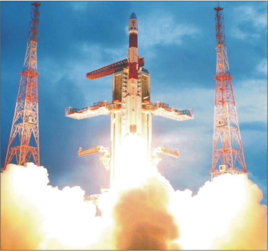
GSAT-4 satellite carrying a navigation payload meant to support Gagan could not be orbited during its April 15, 2010 launch on account of the failure of the upper cryogenic engine stage of the three stages Geosynchronous Satellite Launch Vehicle (GSLV).
The GSAT-10, whose launch constituted 101st Indian space mission could help minimise the acute shortage of satellite transponders nagging the communications and broadcasting sectors of the country.
India is already making use of the transponder capability leased from a number of foreign satellites. Designed for a lifespan of fifteen years, GSAT-10 has been co-located with INSAT-4A and GSAT-12.
As envisaged now, the satellite aided Gagan civilian air traffic management system, will enhance the safety and efficiency of the passenger aircraft over the Indian skies and adjoining areas.
Gagan, meaning sky in the Indian classical language of Sanskrit, is aimed at enhancing the reliability of air traffic by providing augmented information for satellite navigation to aircraft flying over the Indian airspace.
The Flight Management System (FMS), forming part of Gagan, will contribute to the improvement of airports and air space access under all weather conditions.
According to sources in AAI, with a Gagan supported GPS device, air traffic will get far more accurate figures while landing, take off and in flight.
More importantly, Gagan will complement and be interoperable with other global air traffic control systems such as Wide Area Augmentation System (WAAS) of US, the European Geostationary Navigation Overlay Service (EGNOS) and Multi-functional Satellite Augmentation System (MSAS) of Japan.
It will fill the gap between European EGNOS and the Japanese MSAS to provide seamless air navigation services across regional boundaries.
Clearly, the benefits of the Gagan to the civil aviation sector include fuel savings, precision approach at all runways, significant cost saving due to the non deployment of ground aids and reduced workload for flight crew and air traffic control operators.
“India will be the fourth country after the US, Japan and European consortium to have Gagan which minimizes or eliminates human intervention in the air traffic control and plane cockpit,” said a senior AAI official.
The Gagan project involves the deployment of 15 Indian Reference Stations, 3 Indian navigation land uplink stations, 3 Indian mission control centres as well as three geostationary satellites with navigation payloads.
Since satellite navigational aids make for a better situational awareness, Indian Navy and the Coast Guard are also keen on making use of satellite navigation capability being progressively built up by ISRO.
For the Indian Navy an uninterrupted access to satellite navigation capability implies a “smoother pathway” for refining net-centric capability.
Satellite navigation
In the ultimate analysis, Gagan will help a civilian aircraft take the shortest possible routes and in the process save fuel and time.
In the context of the fuel now accounting for more than 40 per cent of the operational cost of an aircraft, operationalization of GPS would mean a greater level of economy for airlines companies.
On another front, Gagan will also be helpful in landing aircraft in inclement weather and on tough and undulating terrain. By all means Gagan will be a major force multiplier for the crisis prone Indian civil aviation sector.
Looking beyond Gagan and with a view to free the country from the dependence on commercial navigation systems such as US operated GPS, ISRO is working towards the realization of Indian Regional Navigation Satellite System (IRNSS) made up of seven satellites.
The IRNSS would transmit signals in in L5 and S bands. A standard time infrastructure that is uniquely Indian would make IRNSS system totally independent.
The first IRNSS satellite is planned to be launched sometime next year by means of the four stage reliable space workhorse.
In addition to aiding civilian sectors, IRNSS would also help Indian defence forces in a variety of tasks like navigating aircraft, guiding troops and launching precision weapons including long range missiles with a high degree of accuracy.
IRNSS is intended to provide an absolute position accuracy of better than ten metres throughout the Indian landmass as well as the region extending approximately 1500-km around India.
The ground segment of IRNSS would comprise a MCC (Master Control Centre), ground stations to track and estimate the satellite’s orbit and integrity of the network and additional ground station infrastructure to monitor the health of the satellites with the capability of issuing radio commands to the satellite.
The MCC, located at Kundalahalli on the outskirts of Bangalore, is designed to estimate and predict the position of IRNSS satellites, calculate integrity, make necessary ionospheric and clock correction and run the navigation software. Bangalore based Satellite Centre of ISRO is the lead agency for India’s satellite navigation programme.
The IRNSS constellation will provide two services-the Standard Positioning Service (SPS) open to civilian users and the Restricted Service-an encrypted one-for authorised users including military and security agencies.
IRNSS is designed to provide Position, Navigation and Timing (PNT) service independent of global and regional navigation systems. The spacecraft employs a standard 1-1 k structure with a power handling capacity of 1600-watts and a lift off mass of 1380-kg.
It is designed for a lifespan of seven years. All the seven IRNSS satellites will have continuous radio visibility with the Indian control station.
The payload of IRNSS spacecraft is made of state the art electronic equipment will help generate navigation signals and extremely accurate atomic clocks.
IRNSS system will provide services to users on a variety of platforms with 24 x 7 service availability under all weather conditions. While thee IRNSS satellites will be placed in geostationary orbit, four others will go into geosynchronous orbit.
Potentials of a GPS system such as IRNSS can also be used for surveying, map making, mobile communications as well as search and rescue operations, surface transportation, shipping, fisheries and farming.
The full blown seven satellite IRNSS constellation is expected to become fully operational by the middle of this decade. The strategic significance of an indigenous satellite navigation system like IRNSS cannot be overlooked especially during war time when Indian defence would be able to access the navigation capability of IRNSS system without any restriction.
The US controlled GPS is available for only civilian uses. For the encrypted signals of GPS are made available to only US defence forces and its partner countries.
Right at the moment, Indian defence forces are severely handicapped by their inability to access highly accurate GPS signals for purposes like navigating fighter aircraft, warships and guiding ground forces and in addition to firing missiles and precision weapons.
Glonass project
The 24 satellite Russian Glonass navigation system with its fully operational status is currently the only alternative to American GPS.
Interestingly, Glonass project which was taken up by Russia to provide real time position and velocity determination initially for the use of Russian defence forces for navigation and ballistic missile targeting, is now being promoted as a commercial system with a global reach that would ultimately challenge the monopoly of American GPS system.
Glonass happens to be second generation navigation system being realized by Russia by improving upon the features of the first generation Tsiklon constellation which required one to two hours of signal processing to calculate a location with a high degree of precision.
As is the case with a standard GPS configuration, Glonass constellation transmits two types of signals: a standard precision signal for the civilian users and an obfuscated high precision signal meant for specialized users including defence forces.
Operated by Russian Space Forces, Glonass uses radio time signals to locate people and vehicle on and above the surface of the earth. India has already signed an agreement with Russia under which Indian defence forces will be allowed access to high quality Glonass signals for military applications including firing of long range missiles.
Of course, much the same way as the civilian aircraft are being navigated by GPS, combat and military transport aircraft and helicopters could be guided through a satellite navigation system to land and take off and also hit targets with a deadly effect.
The proposed Indian tri-service aerospace command, for the setting up of which efforts are now on, would need a large satellite navigation capability to boost its combat superiority.
Indeed, for the Indian tri-service aerospace command, access to GPS along with other satellites meant for communications, surveillance and weather watch would mean a quantum jump in meeting the challenges of the future warfare with confidence. And it is here that the significance of IRNSS looms large.
The 30 satellite European Galileo satellite navigation system is intended to provide more precise measurements than available through either the American GPS or Russian Glonass.
Galileo when fully operational would free Europe from its dependence on American GPS for navigational services.
Not to be left behind, China has indicated that as a follow up to the Beidou navigation system, which currently covers just China, it would launch the Compass satellite navigation system made up of 30 satellites to provide global coverage by 2020.
Access to GPS holds the key to the success of network centric warfare technique that all the three wings of Indian defence forces are busy perfecting.
GPS access
Indeed, for the Indian defence forces, now in the midst of modernization based on technological upgradation and induction of a wide ranging state of the art fighting machines, reliance on GPS would be en inevitable factor in sustaining their fighting edge.
The accuracy of GPS may vary from few metres to a few tens of metres. The precise location of targets for aerial bombers and missile strike to a level of millimetre could be realized through the Differential GPS.
In particular, the satellite navigation makes it possible for a high level of precision in the delivery of weapons to pre chosen targets, greatly enhancing the lethality even while reducing the inadvertent casualties and collateral damages from mis-directed weapons.
For instance, the high performance land attack version of the Indo-Russian supersonic cruise missile Brahmos when deployed through a satellite navigation system will carry out surgical strikes without causing any collateral damages.
In tandem with a satellite navigation system, it could easily hit a small target located amidst a group of targets.
Clearly, India’s quest to be a global military power is dependent on its access to a reliable space navigation system. Given India’s status as emerging military power as well as its problems of terrorist movement, an uninterrupted access to a GPS capability would surely give it a clear cut edge over the adversaries.
However, GPS satellites broadcast signals from space that are picked up and identified by GPS receivers. Each GPS receiver then provides three dimensional locations-latitude, longitude and altitude-along with time.
For the soldiers in the battlefield, GPS enables locating objects in the dark and pave way for coordination of troop movements even in unfamiliar territory in addition to facilitating reconnaissance as well as search and rescue operations.
The American GPS satellite system also carries a nuclear detonation detectors to help monitor nuclear blasts.
The stunning effectiveness of the American GPS was demonstrated during the “desert storm” operations of 1990-91 that was aimed at freeing Kuwait from the clutches of Iraqi occupation forces.
In this context, the potentials of GPS was mainly pressed into service to guide bombers to targets, allow infantry and armoured units to locate their bases in frightening, featureless expanse of the desert and position artillery in a war zone ideally suited to fire at enemy lines apart from precisely navigating experimental missiles to pre determined targets.
The US led allied forces during their operations in both Afghanistan and Iraq relied heavily on satellite based navigation with hand held portable GPS devices to realize their strategic goals at a rapid pace.
However, geographical challenges posed by the towering mountain ranges in both these countries, now passing through turbulent times, have come in the way of full and uninterrupted use of GPS system.
Indeed, mountain ranges have been found to be major factor in blocking and weakening the signals transmitted by GPS satellites and consequently the failure of the defence forces to get the full signal coverage.
Against this backdrop, US Strategic Command and Air Force Space Command is working on providing an enhanced GPS coverage for US forces located in Afghanistan and Iraq.
By all means, GPS is considered a veritable force multiplier by the defence forces in the battlefield striving for strategic superiority.